5 Hikes To Lakes in Banff National Park
- Sep 20, 2019
There's nothing quite like hiking to an alpine lake.
After hiking through some challenging switchbacks you are rewarded with crystal clear water and shades of blue that wouldn't look out of place in a box of crayons.
We've collected a list of five great hikes to alpine lakes in Banff National Park that will be sure to inspire all of the hikers in your group. Consider leaving your car behind and taking one of the many great transit options to the trailhead.
Itinerary for Hikes to lakes blog
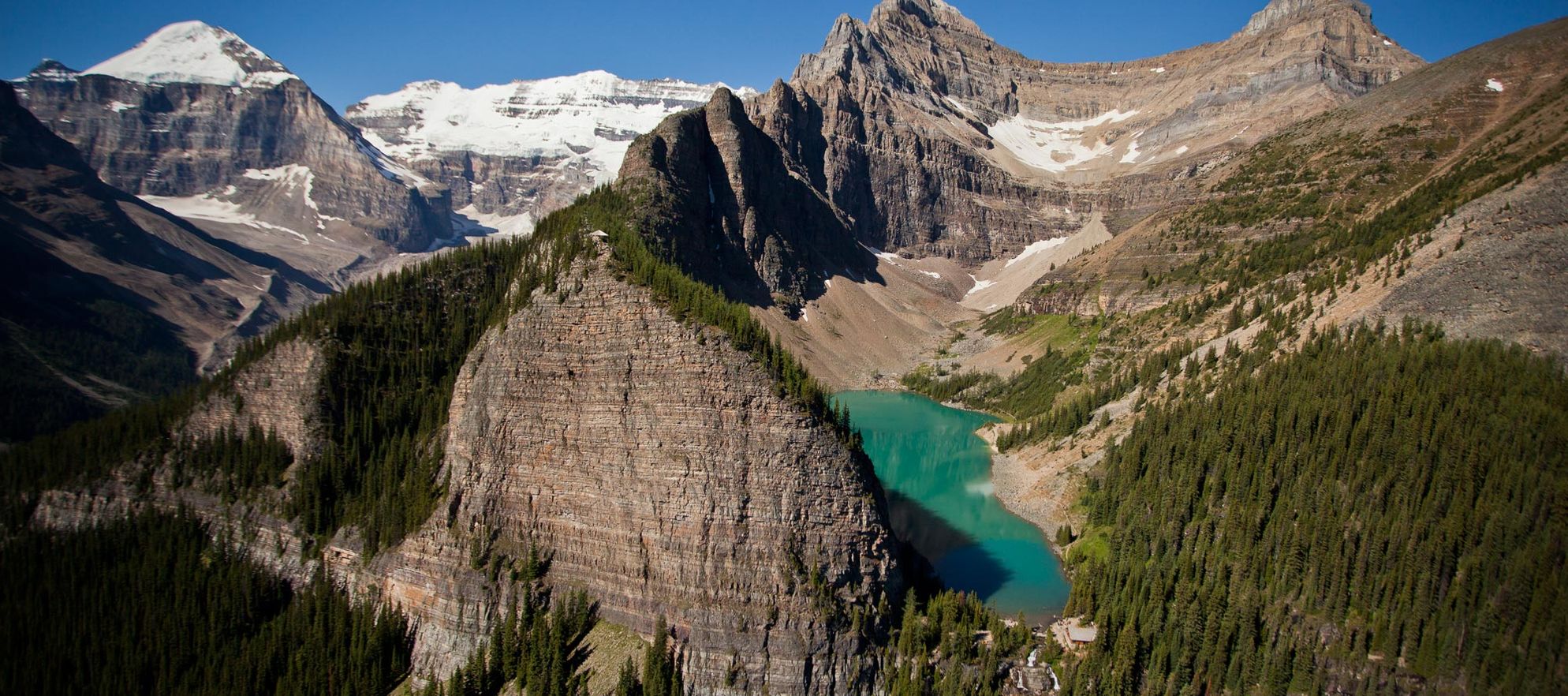
Hikes to lakes #1 - Bourgeau Lake
Bourgeau Lake
Set within an amphitheatre carved from the limestone walls of the Massive Range, Bourgeau Lake is a moderately difficult hike, but is the closest subalpine lake to the town of Banff, making it a popular destination for those based in town.
Length: 15 km (9.2 miles) roundtrip
Elevation gain: 725 metres (2,380 feet)
Allow: 5 to 6 hours roundtrip
Rating: Moderate/difficult
Map: Gem Trek Banff & Mount Assiniboine
Trail Description
From the signposted trailhead 10 kilometres west of Banff along the Trans-Canada Highway, the trail to Bourgeau Lake quickly buries itself in a forest of lodgepole pine and spruce, and after quickly gaining elevation via a series of switchbacks, climbs steadily along the southeast side of the Wolverine Creek Valley. Views soon open back to the Bow Valley and the sharp, serrated peaks of the Sawback Range. The broad summit of Mount Brett (2,984 metres), the highest mountain in the Massive Range, dominates the scene ahead.
Around 5.5 kilometres from the trailhead, the trail crosses Wolverine Creek, where the stream descends from the Bourgeau Lake cirque in a series of cascades. The foot of the waterfall is a good spot for rest and refreshment before tackling the steep switchbacks that complete the climb to a long, stream-side meadow leading to the lake.
The amphitheatre containing the lake is carved into the northwest side of Mount Bourgeau (2,930 metres). Like other peaks in the range, its cliffs are formed by Devonian and Mississippian limestones and shales—formations bearing fossils of brachiopods, corals, and other examples of early ocean life. Dr. James Hector named the mountain for the French botanist Eugene Bourgeau, his comrade-in-exploration with the Palliser Expedition during the summer of 1858.
Snowbanks often linger in the meadows bordering the lake until mid-July, their meltwaters feeding a wide variety of subalpine wildflowers. White-tailed ptarmigan are sometimes seen along the lake’s outlet stream or in the nearby talus slopes, their mottled summer plumage making them all but invisible among the piles of broken rock. Pikas, golden-mantled ground squirrels and chipmunks scurry back and forth through the boulders, closely watching passing hikers for a possible handout.
OPTION
You can explore above the lake to an alpine basin Harvey Pass, which lies 2.2 kilometres beyond Bourgeau Lake and 294-vertical metres higher up. A path follows above the forested north shore of Bourgeau Lake then climbs steeply toward the obvious notch where a stream drops from between Mounts Bourgeau and Brett. After some strenuous climbing, the track skirts a small, rockbound lake and emerges into an open alpine bowl complete with small ponds.
While this lofty cirque is quite pleasant, you will want to continue climbing south to the obvious pass at the foot of Mount Bourgeau’s long summit ridge. In less than 15 minutes you crest Harvey Pass (2,454 metres) and are greeted with an exceptional view south to the towering pyramid of Mount Assiniboine. Harvey Lake is a small tarn cradled on the summit and, like the pass, is named for Ralph Harvey, who was a manager for Banff’s Brewster Transport Co. and involved in the development of skiing at nearby Sunshine Village.
Hikes to lakes #2 - Chephren Lake
Chephren Lake
While you can admire the rugged pinnacles of Mount Chephren and Howse Peak from the roadside pullout beside Lower Waterfowl Lake along the Icefields Parkway, the mountains are best seen from the shores of Chephren Lake, which lies at the very foot of the escarpment.
Length: 7 km (4.4 miles) roundtrip
Elevation gain: 105 metres (345 feet)
Allow: 2 hours roundtrip
Rating: Easy
Map: Gem Trek Bow Lake & Saskatchewan Crossing
Trail Description
The Chephren Lake hike begins at the Mistaya River footbridge at the rear of Waterfowl Lakes Campground. After crossing the Mistaya bridge, you climb quickly through the forest to a trail junction. Chephren Lake, the most popular destination, is to the right, Cirque Lake to the left. There is little gain or loss of elevation from the junction to Chephren Lake, but the trail is often a muddy mess. Views en route are limited to a brief glimpse of Howse Peak at a trailside meadow.
Two great peaks rise above Chephren Lake: the imposing, glaciated mountain to the south is Howse Peak, site of frequent avalanches in spring and early summer; Mount Chephren (pronounced kef-ren) forms the west shore and is named for the second of the three great pyramids of Egypt.
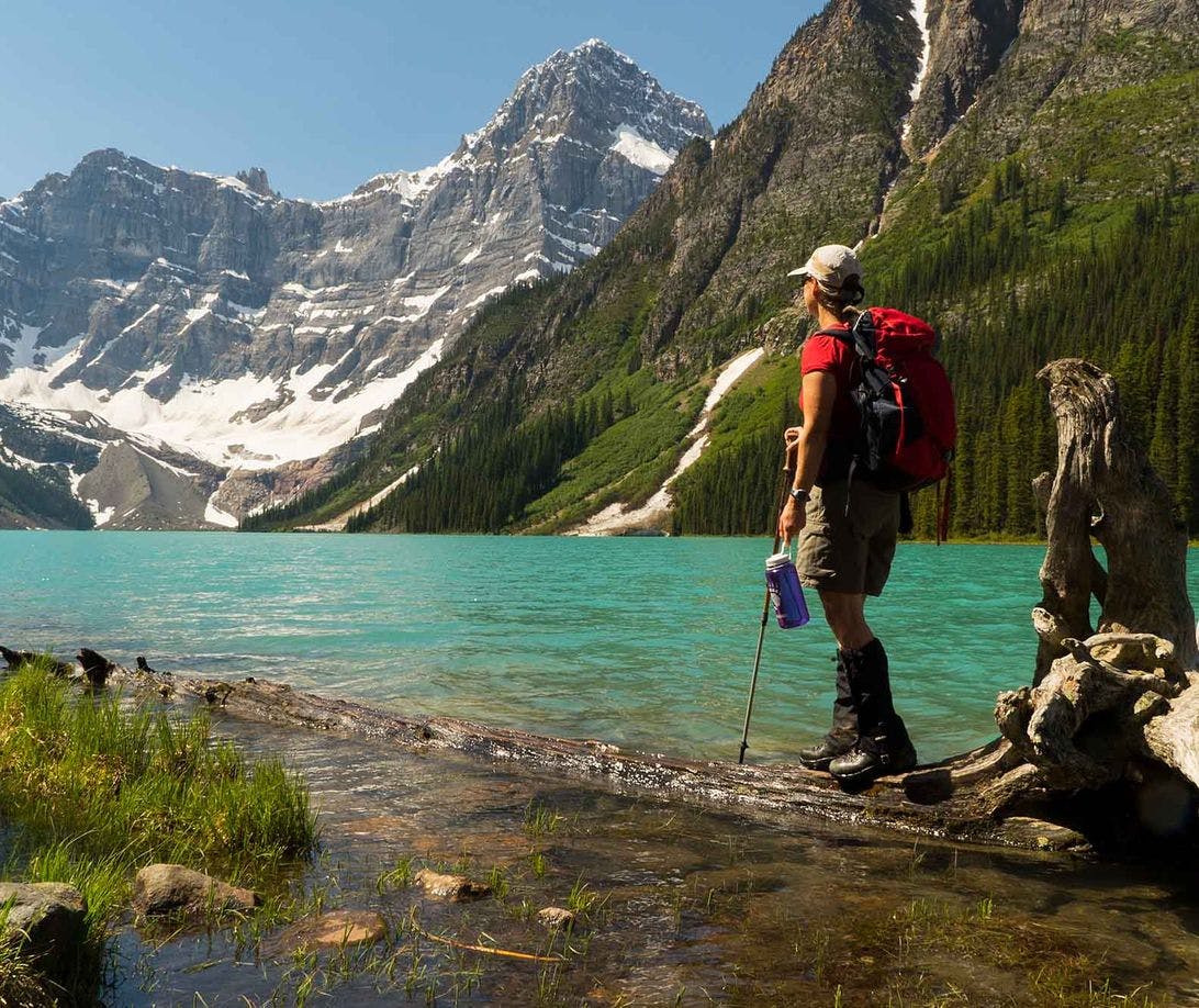
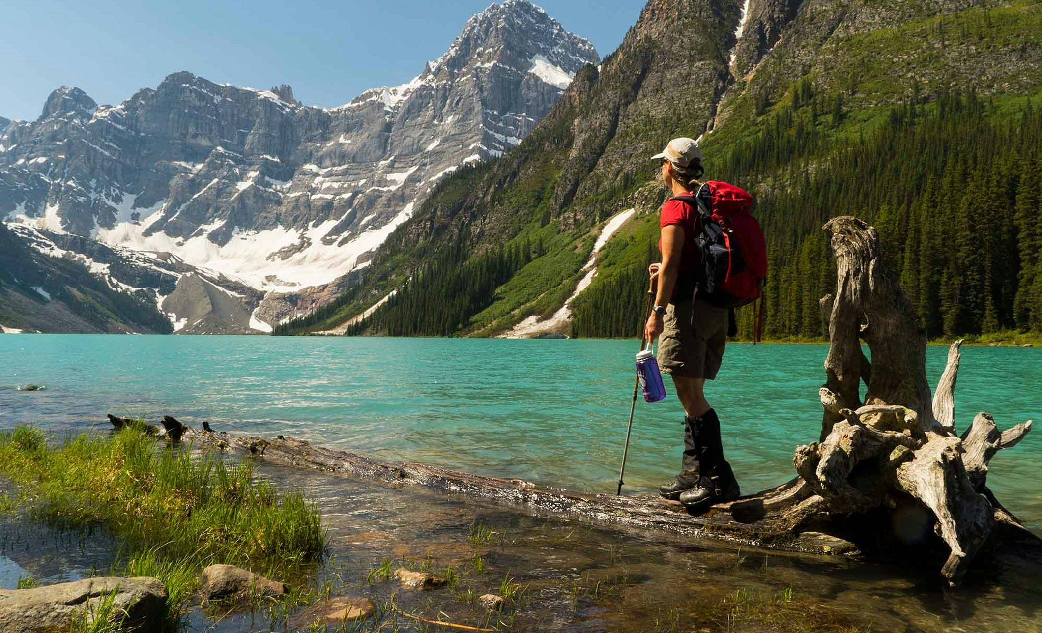
Hikes to lakes #3 - Consolation Lakes
Consolation Lakes
The hike to Lower Consolation Lake is short and relatively flat, but the rugged scenery is as rewarding as that found on many of Banff’s longer and more-demanding trails.
Length: 5.8 km (3.6 miles) roundtrip
Elevation gain: 60 metres (195 feet)
Allow: 2 hours roundtrip
Rating: Easy
Map: Gem Trek Lake Louise & Yoho
Trail Description
The trail to the two Consolation Lakes starts from Moraine Lake, so plan on arriving early. Consider leaving your car at home and check out parking and shuttles, for more information.
After crossing the Moraine Creek bridge just below the parking area, the trail passes over a substantial rockslide, which is the natural dam that created Moraine Lake. A short trail branches to the top of the “Rockpile”, where you are greeted by the classic view of Moraine Lake and the Valley of the Ten Peaks.
Beyond the rockslide, the trail enters a forest of spruce and fir and climbs gradually along the west side of Babel Creek. Just beyond the halfway point to the lake, the trail levels out along a meadow—a section that is often quite muddy.
A large rockslide blocks direct access to the north end of Lower Consolation Lake, but you still have a magnificent view of the lake and the glacier-capped summits of Bident and Quadra beyond. Mount Temple commands the view back down-valley to the north—at 3,544 metres, the third highest mountain in Banff National Park and the highest in the Lake Louise-Moraine Lake vicinity.
OPTION
If you are visiting Consolation after the high-water period (June to mid-July) and want to spend a little more time in the area, you can visit Upper Consolation Lake. Cross Babel Creek below Lower Consolation Lake on rickety log booms and then follow a rough, muddy track along the lake’s eastern shore. At the far end, climb over a ridge of rock debris separating the two lakes. (Good boots are required for this option.)
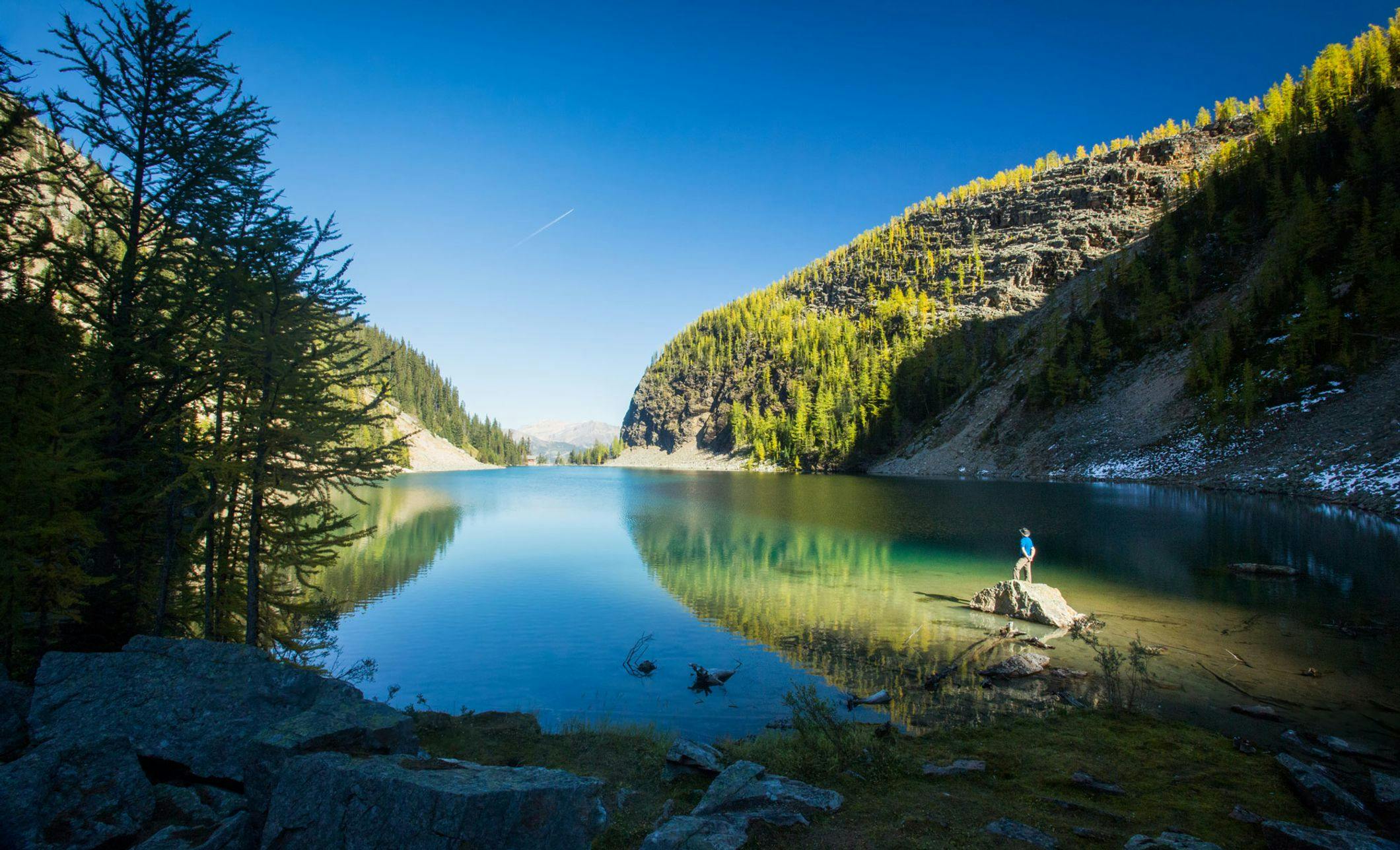
Hikes to lakes #4 - Lake Agnes
Lake Agnes
Hidden in a hanging valley, the rugged surroundings of Lake Agnes belie its proximity to the bustle of Lake Louise far below. In addition to the lake’s own charms, there is a historic tea house on the shoreline and trails branch out and upward to two lookouts providing breathtaking views of Lake Louise and the Bow Valley.
Length: 7 km (4.4 miles) roundtrip
Elevation gain: 405 metres (1,325 feet)
Allow: 2-3 hours roundtrip
Rating: Easy/moderate
Map: Gem Trek Best of Lake Louise
Trail Description
For the first half-hour from the shore of Lake Louise, the Lake Agnes trail follows a broad, moderately graded trail through dense subalpine forest. At 1.7 kilometres the first switchback marks a break in the trees where you have a clear view down to the pale turquoise waters of Lake Louise.
Another 800 metres brings you to Mirror Lake—a tiny sink lake that takes its name from its round looking-glass appearance. The dark, layered cliffs of Big Beehive loom above, and, in the gap to the right, the roof of Lake Agnes Tea House is barely visible.
By taking the Plain of the Six Glaciers highline trail to the left at the Mirror Lake junction, you can make a direct ascent to Lake Agnes via a steep trail that traverses the rockslide beneath Big Beehive. (This short cut branches right from the highline trail 150 metres beyond this junction.) But if this steep trail is wet, icy or snowy, avoid it and follow the traditional route that branches right at Mirror Lake (it’s only 200 metres longer).

Arriving at the narrow opening where Lake Agnes tumbles from its basin, the entire length of the lake suddenly appears, stretching westward to a jagged backdrop created by Mounts Whyte (2,983 metres) and Niblock (2,976 metres). Leave the crowds behind by continuing along the shore of Lake Agnes to its boulder-strewn western end.
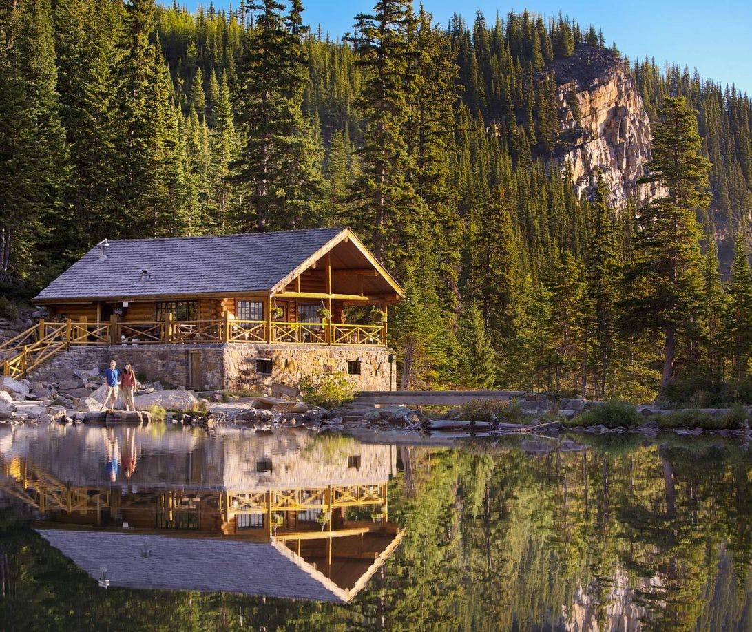
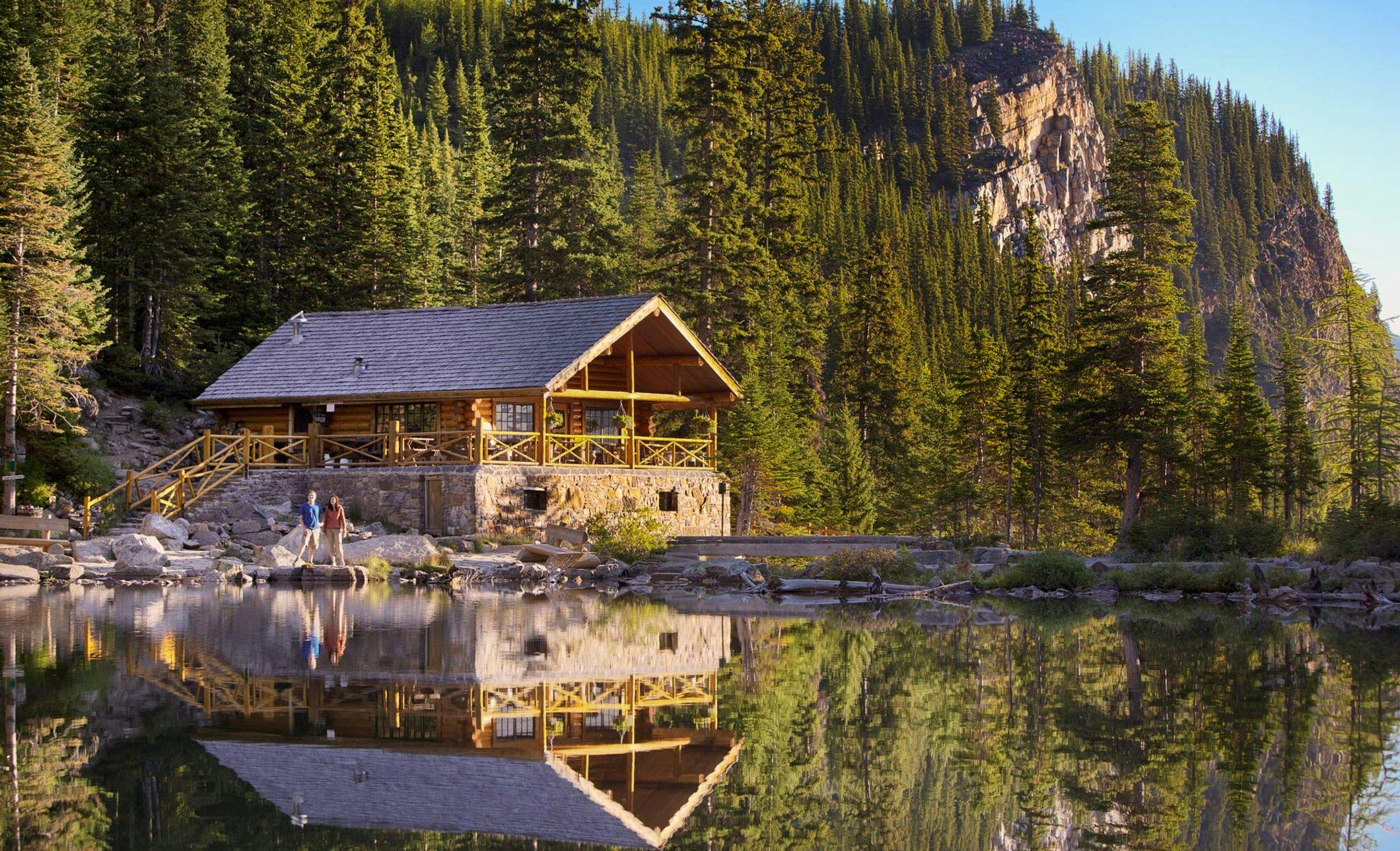
Lake Agnes Tea House sits atop the cliff on the north side of the outlet stream, just a few metres from the lake. The original building was constructed shortly after the turn of the 20th century. The present-day version was built in 1981. It serves refreshments and light snacks from mid-June to early October, daily 8am-5pm, and is one of the attractions for many who do this hike. Cash only.
The most popular short hike beyond Lake Agnes is to the Little Beehive. Though not as high as the nearby Big Beehive, it provides better views of both Lake Louise and the Bow Valley, and you won’t work as hard to get there. The 900-metre trail branches uphill from the Lake Agnes shoreline trail just beyond the tea house. It climbs steadily to the northeast through alpine fir and larch and across avalanche slopes. Stands of larch become thicker as you climb, making this a very rewarding trip in the last two weeks of September when their needles turn to gold.
Another option is the 1.6-kilometre trail from the tea house to the Big Beehive. The Lake Agnes trail continues around the far end of the lake and climbs a steep series of switchbacks to a junction on the Big Beehive summit ridge. Traverse eastward along the rocky, lightly forested ridge to a gazebo-style shelter on the northeast edge of the 2,255-metre-high promontory. Though somewhat obscured by trees, there are views over the Bow Valley and down to Lake Louise, over 500 metres below. (Do not attempt to shortcut down from the gazebo viewpoint in any direction; there are dangerous cliffs on all sides. Return back along the ridge the way you came.)
Hikes to lakes #5 - Rockbound Lake
Rockbound Lake
The rigorous hike to Rockbound Lake, which starts from along the Bow Valley Parkway, leads to two distinctly different lakes beneath the massive cliffs of Castle Mountain. Tower Lake is a placid, green mirror fringed by open subalpine forest and lush wildflower meadows; Rockbound Lake is a cold, grey sheet contained by tumbled boulder-fields. Both lakes are overshadowed by the impressive Eisenhower Peak tower and the limestone cliffs of Castle Mountain.
Length: 16.8 km (10.4 miles) roundtrip
Elevation gain: 760 metres (2,500 feet)
Allow: 6 hours roundtrip
Rating: Moderate/difficult
Map: Gem Trek Banff & Mount Assiniboine
Trail Description
To get to the Rockbound Lake trailhead, follow the Bow Valley Parkway to Castle Junction, 30 km northwest of the town of Banff. The parking area for the trail is on the north side of the Parkway 200 metres southeast of Castle Junction.
Although the first section of the trail provides little scenic interest, a worthwhile detour veers right from the main trail 300 metres from the parking area to 50-metre-high Silverton Falls (allow an extra 15 minutes).
Back on the main trail, it eventually it gains sufficient elevation to provide glimpses of the Bow Valley and the mountains to the west. Prominent are pyramid-shaped Copper Mountain and, to the south, Pilot Mountain, which served as a landmark to CPR surveyors charting the line of the railway down the valley in 1881. The trail, still following the old roadbed, continues its traverse around the end of Castle Mountain and finally enters the high valley running northwest between its ramparts and Helena Ridge.
After five kilometres the trail narrows to a single track and, just a bit farther on, views open to the Eisenhower Tower on Castle Mountain, a 2,752-metre-high limestone pinnacle rising in front of the main body of the mountain. The trail beyond this point can be rather messy, particularly early in the season when the entire area is soggy from the melting snow.
An extensive meadow leads to Tower Lake, a small body of water set within a semicircle of rock. This appears to be the end of the journey, but the trail continues to the right of the lake and climbs steeply up the headwall beyond.
At the top of the cliff, you catch your first view of Rockbound Lake and immediately appreciate the aptness of the name. It is totally enclosed by rock. Cathedral Formation limestone contains the bed of the lake, while Stephen and Eldon Formation limestone creates the high walls of the cirque. The lake lies precisely in the centre of a major down-fold in the strata—the Castle Mountain Syncline, which starts here and runs all the way to Mount Kerkeslin in Jasper National Park, some 260 kilometres to the northwest.
From the scattered forest of Engelmann spruce, alpine fir and larch at the top of the headwall, you can spend a full day exploring the Rockbound basin: huge boulders beyond the southern shore provide a playground for novice rock climbers, and the slopes of Helena Ridge to the east are easily ascended for a better perspective of the amphitheatre.
Expanded: