Best Hikes To Do at Lake Minnewanka in Banff National Park
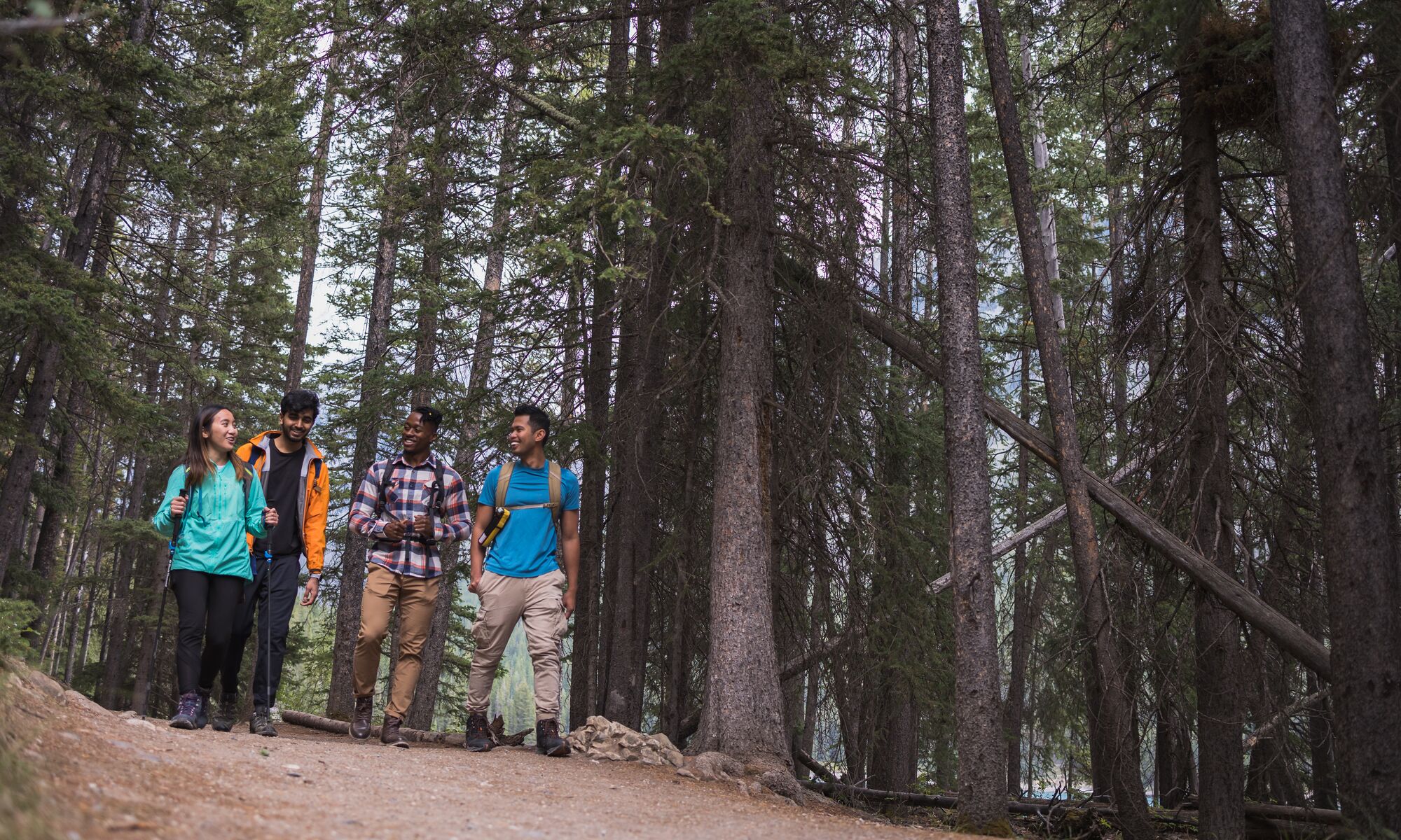
Going for a Lake Minnewanka hike is a unique way to experience Banff National Park’s largest lake. Explore 11+ hiking trails that bring you to emerald lakeshore, waterfalls, canyons, and mountain passes. Get exclusive tips on the most show-stopping hikes in and around Lake Minnewanka.

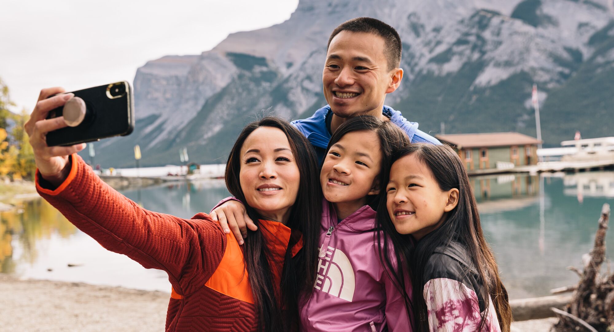
Hiking Lake Minnewanka brings you to one of the most impressive and coveted lakes in Banff National Park. Stroll the lakeshore, ascend trails to the tallest mountain in the area, and explore interesting routes to a historic cabin and a ghost town.
This guide covers the best Lake Minnewanka hiking trails, how to get there, and other activities you can do around and on the lake.
What’s in this guide?
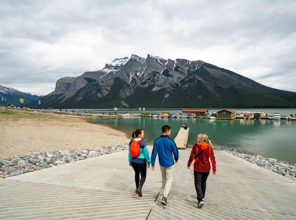
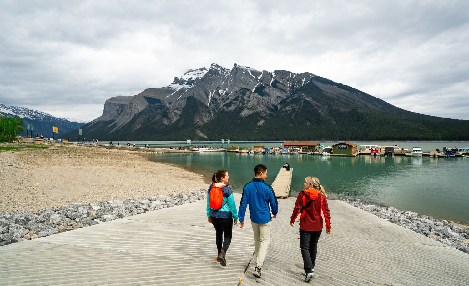
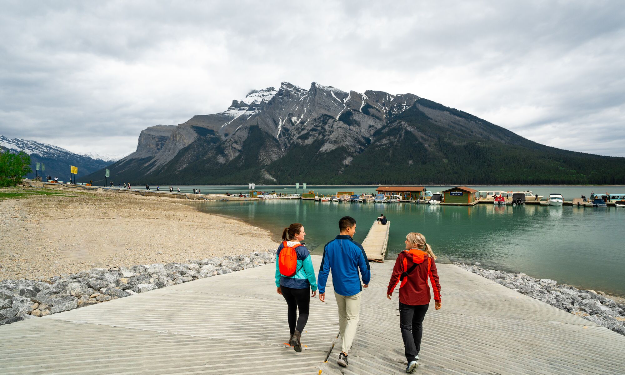
What and Where is Lake Minnewanka?
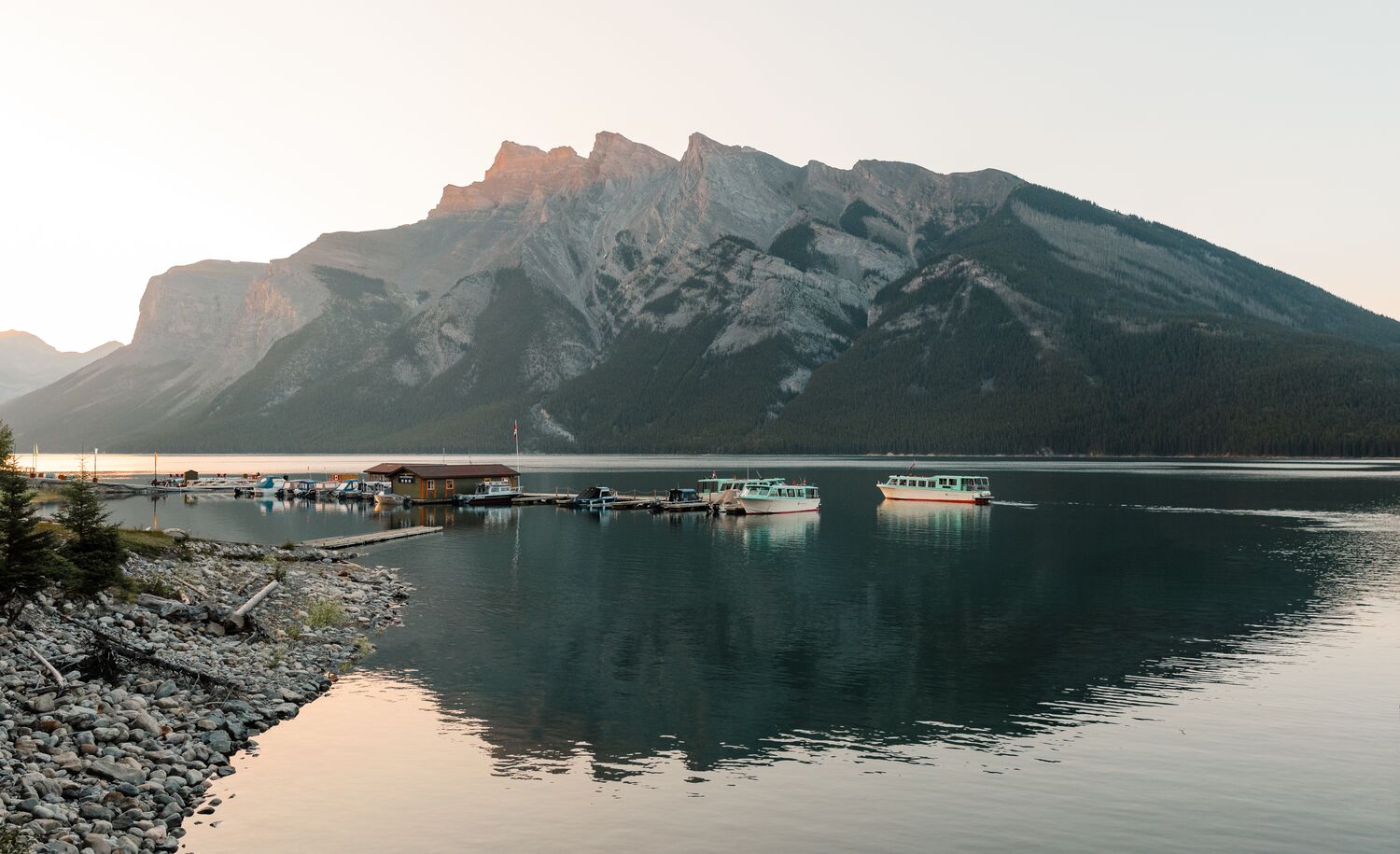
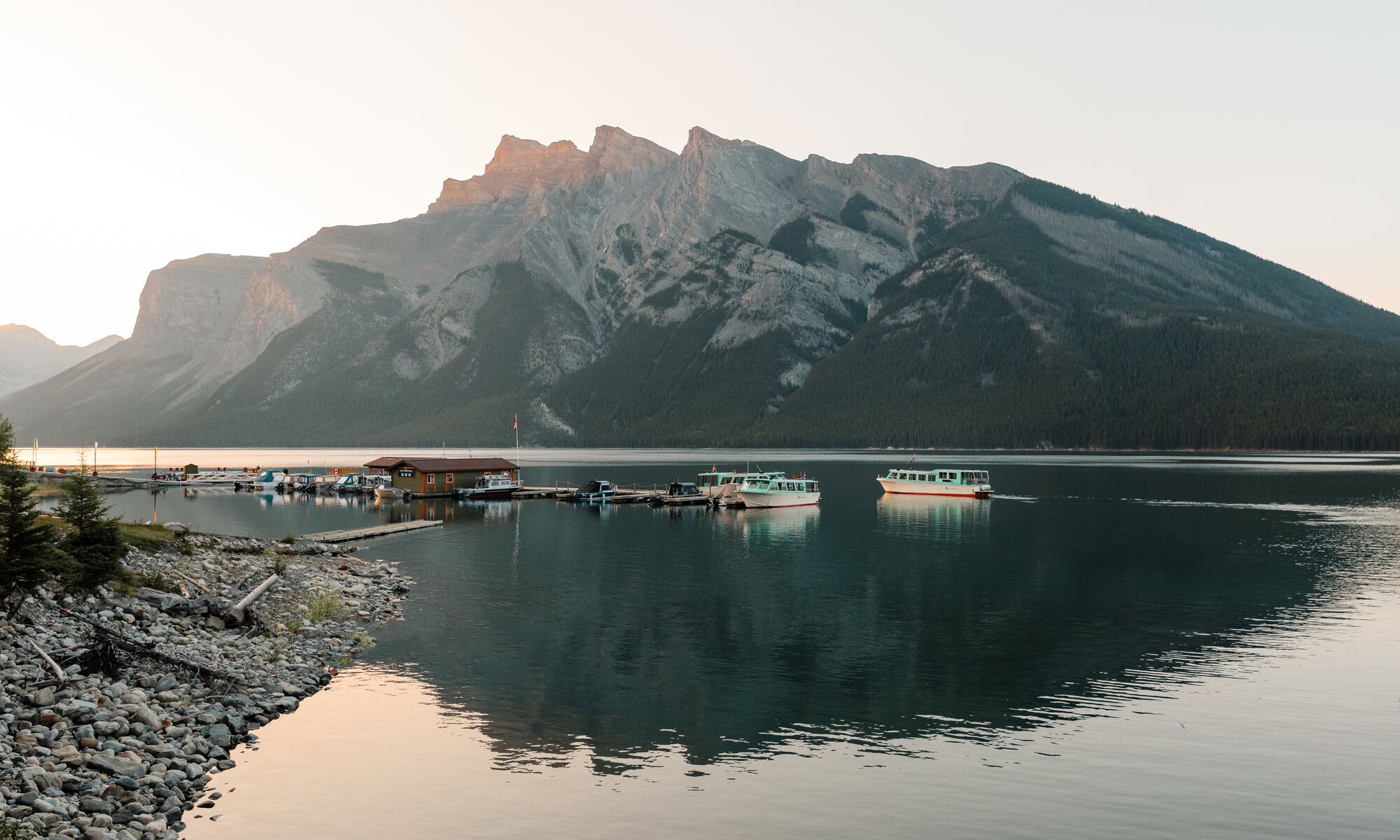
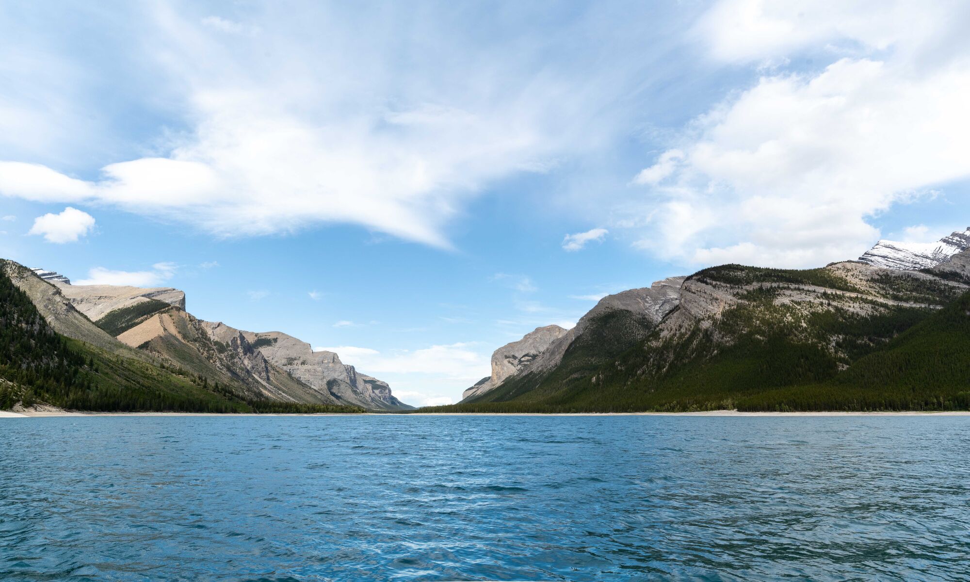
Located just 10km (6.2 miles) near Banff townsite, Lake Minnewanka is the largest lake in Banff National Park and the second longest in the Canadian Rockies. Known amongst Stoney Nakoda First Nations people as Minn-waki or “Lake of the Spirits.” Its glistening greenish-blue waters are encircled by a white limestone shoreline, making it look like a tropical beach from afar.
Lush aspen, larch forest, and layered mountain ranges surround the lake. Beyond hiking Lake Minnewanka, you can enjoy the area by biking, paddling, fishing, and boating.
Did you know?
- Nearest Town: Banff.
- Trails: 11+.
- Skills: Easy, Moderate, Difficult.
- Time to visit: Year round.
- Tallest Mountain: Mount Aylmer (3,162 meters/10,374 feet).
- Indigenous Lands: Treaty 6, 7 and 8, Rocky View Métis District, and the Métis Homelands.

Best Hikes at Lake Minnewanka in Banff National Park
From canyons to cirques, hiking Lake Minnewanka takes you through varied terrain with remarkable viewpoints. Walk all day along the lakeshore, or head up into the alpine to get a better vantage point of the sparkling lake, surrounded by vast forest and the slate-gray peaks of the Canadian Rocky Mountians.
Lake Minnewanka Lakeshore Trail
- Distance: 16.4km one way (10.19 miles).
- Elevation gain: 541m (1,775 feet).
- Time required: 5 to 5.5 hours.
- Difficulty: Moderate to difficult.
- Season: Year-round.
- Trailhead: Lake Minnewanka Day Use Area.
- Best for: A family-friendly route with minimal elevation, that brings you to sweeping views along the Lake Minnewanka shoreline, with the option to stop for a picnic or turn around any time you’d like.
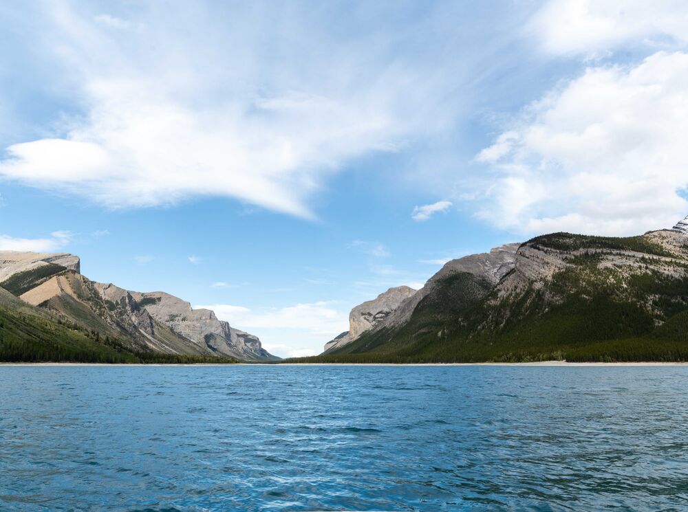
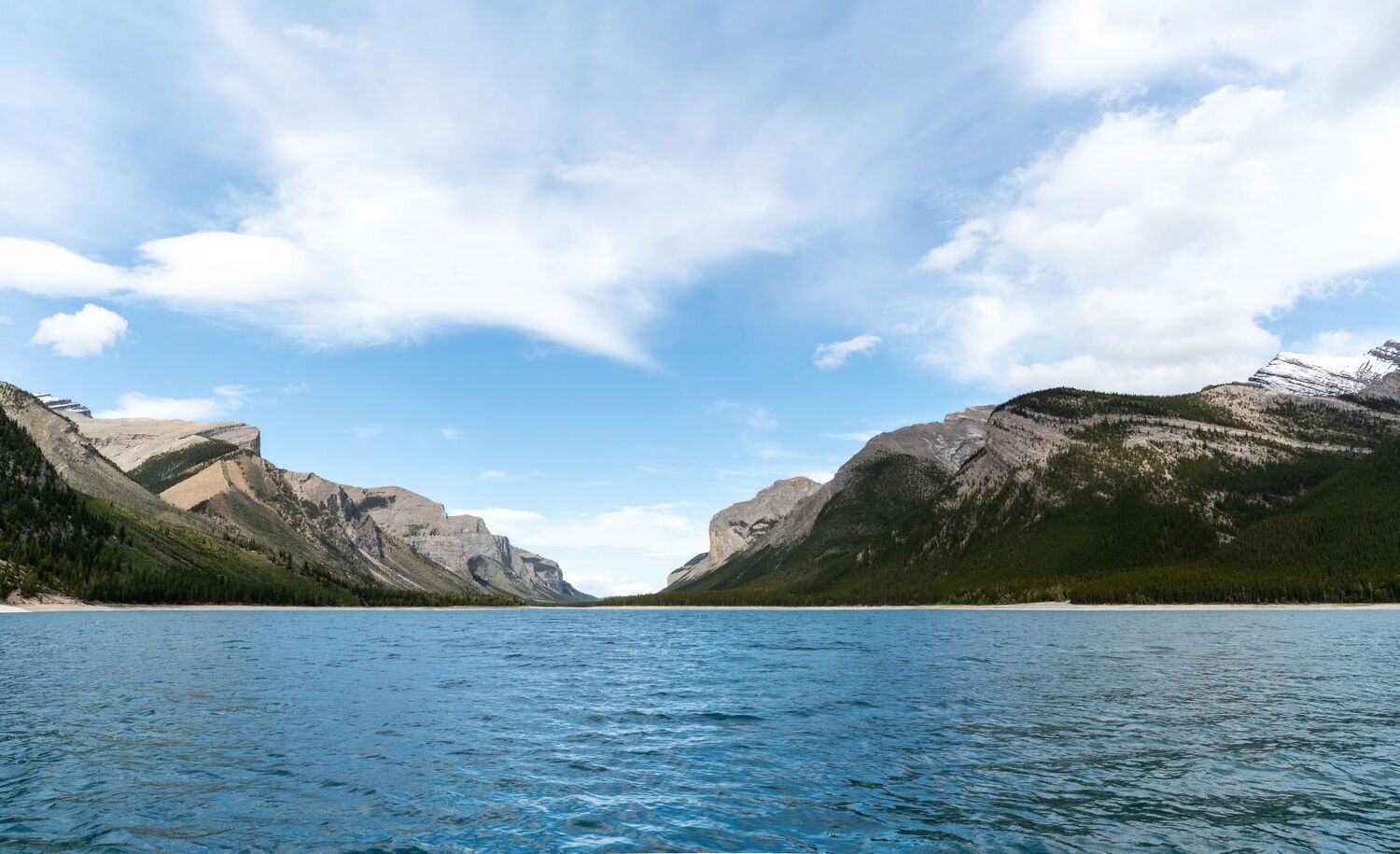
It’s hard to believe that this relatively flat Lake Minnewanka trail transports you somewhere so beautiful and wild. The tranquil out-and-back trail spans one full side of the lake, revealing a striking view of the Canadian Rockies, especially Mount Inglismaldie with its jigsaw-shaped summit.
This is a long trail, so feel free to turn back well before the end. Some people opt to mountain bike part of it to travel faster and farther. This is also grizzly habitat and bear encounters are possible, so pay attention to seasonal trail restrictions between July and September.

Lake Minnewanka to Stewart Canyon
- Distance: 1.6km one way (1 mile).
- Elevation gain: Minimal.
- Time required: 1 hour.
- Difficulty: Easy.
- Season: Year-round.
- Trailhead: Lake Minnewanka day use area.
- Best for: Easy access to varied landscapes that reveal lakeshore, mountains, lush forest, and river canyon. This is perfect for a family hiking adventure.
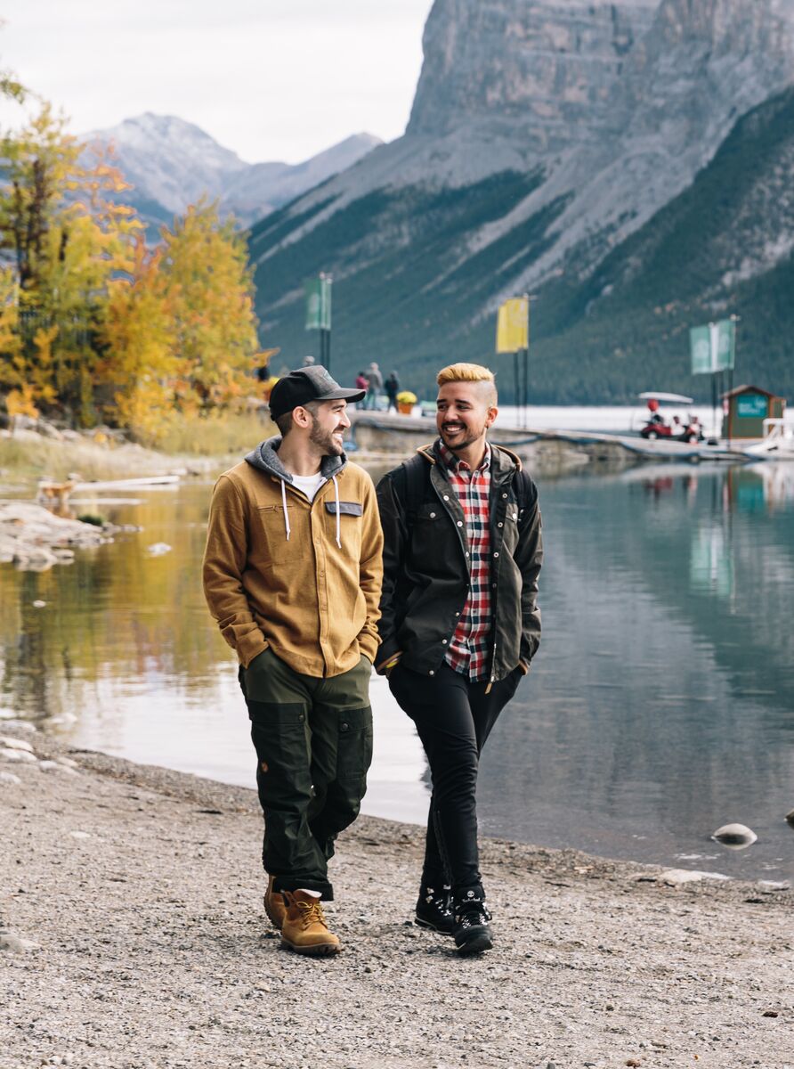
Stewart Canyon is considered one of the best hiking trails in Banff National Park, for its easy access and rewarding viewpoints. Leave the bustling Lake Minnewanka day use area behind and follow the Lake Minnewanka Lakeshore for a short distance, enjoying views of the emerald-coloured lake and rugged peaks.
The Stewart Canyon trail officially starts at the Cascade River bridge, where it begins a gentle incline. In this section, you’ll wander through a lush evergreen forest, blanketed with moss and blooming with purple calypso orchids in late spring and early summer. At the river’s edge, you can look down on the banks of a rocky gorge.
The trail ends once the Cascade River meets a mountain stream, the perfect place for a picnic.
C-Level Cirque
- Distance: 3.8km one way (2.4 miles).
- Elevation gain: 440m (1,444 feet).
- Time required: 3 hours.
- Difficulty: Moderate
- Season: June to October.
- Trailhead: Upper Bankhead day use Area on Lake Minnewanka Road .
- Best for: Hikers looking for rugged hike that blends glacier-carved terrain with a historic ghost town. Dogs are allowed on leash.
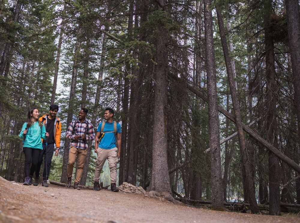
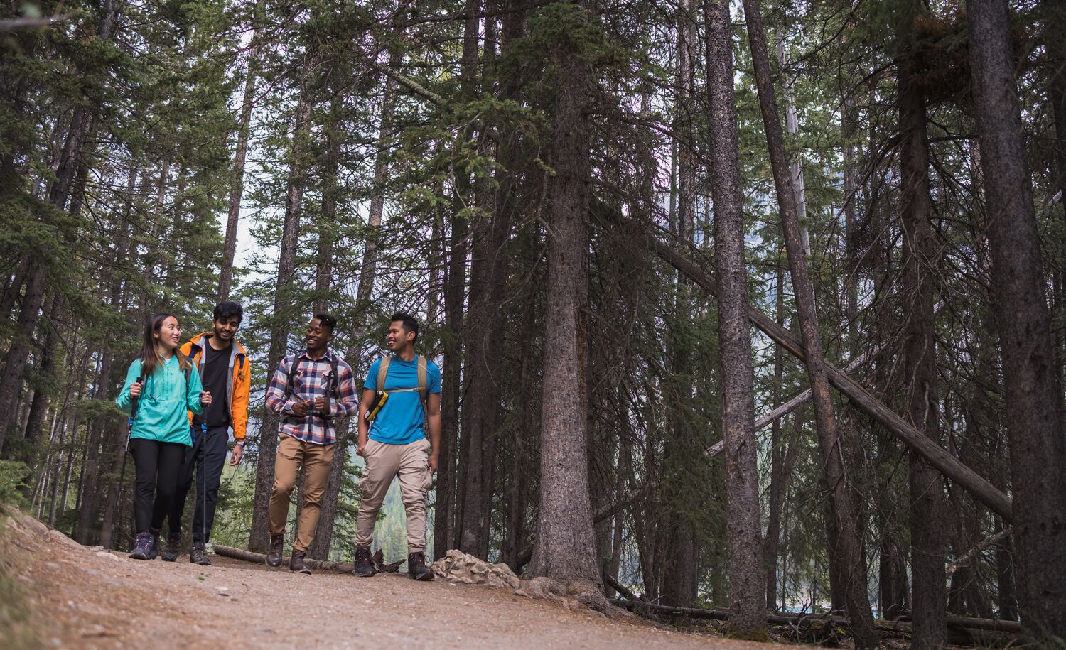
The C-Level Cirque is a half-day hike that delivers jaw-dropping mountain terrain and a dose of the area’s historic past.
Start your hike winding through the larch forest before you come across Bankhead, the ruins of a 100-year-old coal mine deep in the backcountry.
The name “C-Level” refers to the mine’s upper operations. Here, you can take a little time to explore the outpost buildings that remain.
Beyond the mine, the path narrows and around the halfway mark, the commanding Cascade Mountain comes into view. As you approach the cirque, you’ll see its rough rock layers, carved by glaciers over millennia.
Once you reach the cirque, you’ll feel small standing in the middle of this mighty mountain bowl with towering rock faces.
Aylmer Lookout & Aylmer Pass Trail
Aylmer Lookout
- Distance: 11.6km one way (7 miles).
- Elevation gain: 770m (2,527 feet).
- Time required: 7 to 8 hours.
- Difficulty: Difficult.
- Season: Year Round.
- Trailhead: Lake Minnewanka day use area.
- Best for: Hikers who want to enjoy beautiful views of Lake Minnewanka from the lookout, and a slightly less strenuous trek than Aylmer Pass. Camp overnight on one of the Lake Minnewanka shoreline campsites.
Aylmer Pass Trail
- Distance: 13.1 km one way (8 miles).
- Elevation gain: 970m (3,182 feet).
- Time required: 8 to 10 hours.
- Difficulty: VeryDifficult.
- Season: June to October.
- Trailhead: Lake Minnewanka day use Area.
- Best for: More experienced hikers who want to go deeper into the Palliser Range, gain more elevation and distance, and explore the Lake Minnewanka backcountry.
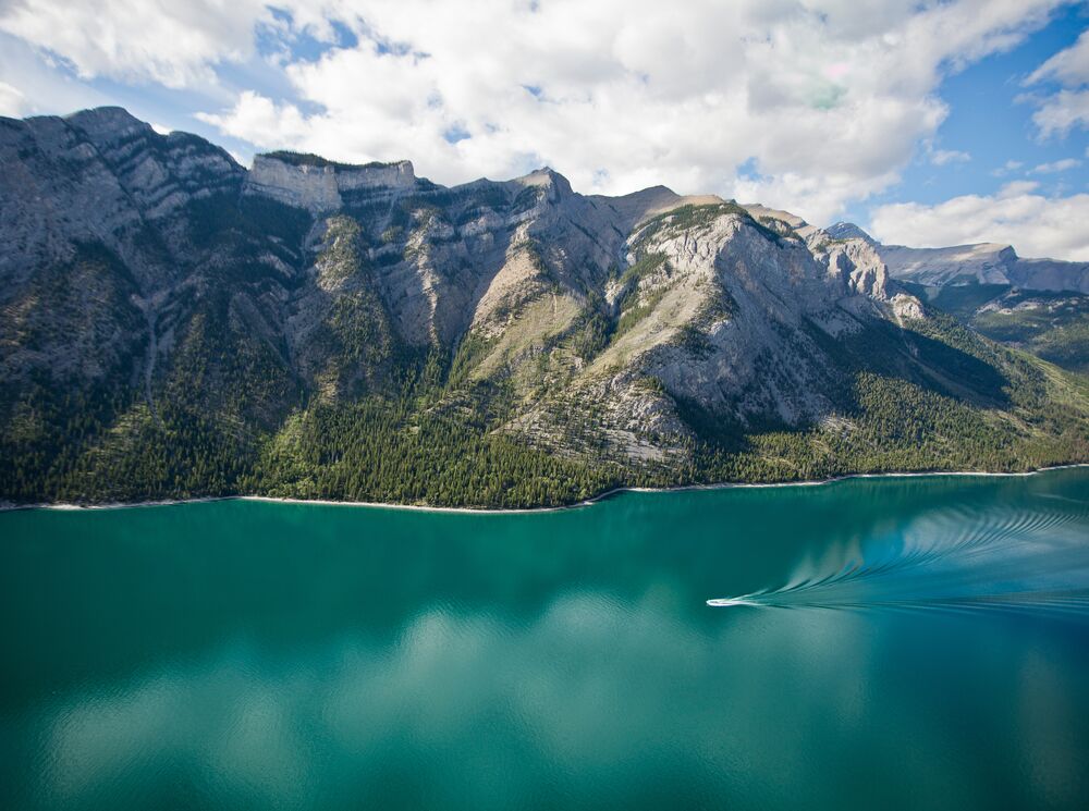
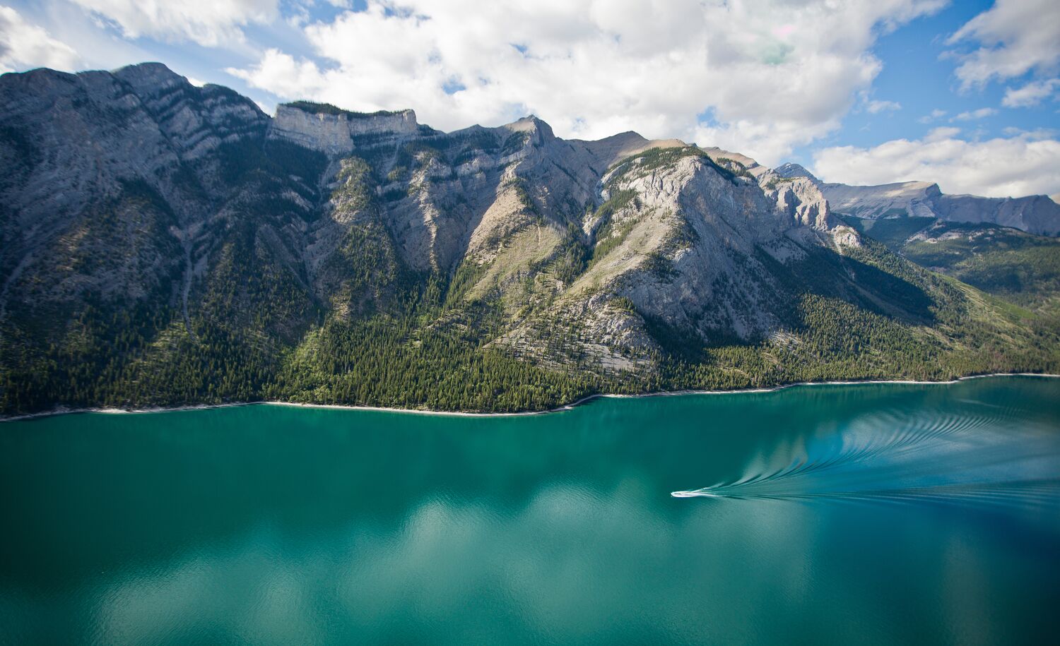
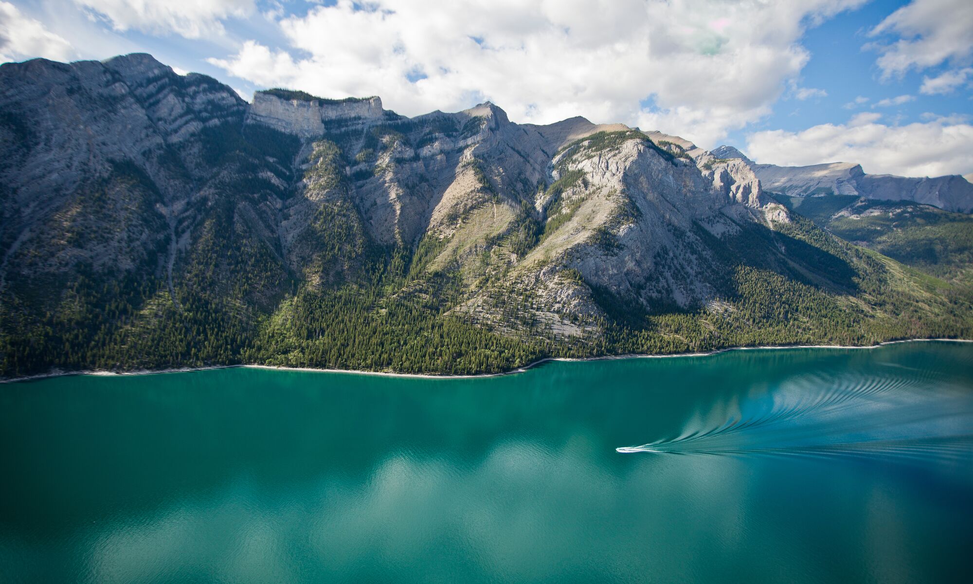
The only way to get a bird’s-eye glimpse of Lake Minnewanka is to earn your view from high atop Aylmer Lookout and Aylmer Pass trails, two connected hikes that bring you from the shoreline to the alpine. These popular Banff National Park hiking trails climb the tallest mountain above Minnewanka: Mount Aylmer.
From the Lake Minnewanka Lakeshore trail, you’ll find the Aylmer Pass Trail junction at around the 8km (5 mile) mark. Climb steadily uphill, where you hit a fork between Aylmer Lookout and Aylmer Pass.
The Aylmer Lookout trail winds through subalpine forest to a decommissioned fire viewpoint overlooking Lake Minnewanka reservoir and across a river valley to Mount Astley. Once you reach the Lookout, you can make this your final destination or continue on to the mountain pass.
Aylmer Pass traverses higher into the alpine meadows connecting to Mount Astley. In early June, you may see waterfalls from the snowmelt. By late July and August, the wildflowers are out in bloom.
While it is possible to do the entire hike in a day, you can also camp overnight at the Parks Canada campgrounds on the Lake Minnewanka shoreline to break up your trip and explore more.
Johnson Lake Trail
- Distance: 2.9km loop (2 miles).
- Elevation gain: 90m (295 feet).
- Time required: 1 hour.
- Difficulty: Easy.
- Season: Year Round.
- Trailhead: Johnson Lake day use area at the end of Johnson Lake Road.
- Best for: A casual wander with breathtaking views of Mount Rundle and Johnson Lake, with plenty of wildlife viewing opportunities. This hike is great for families and dogs on leash.
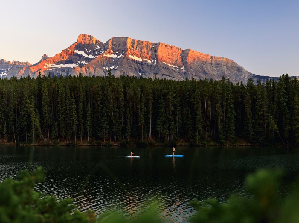
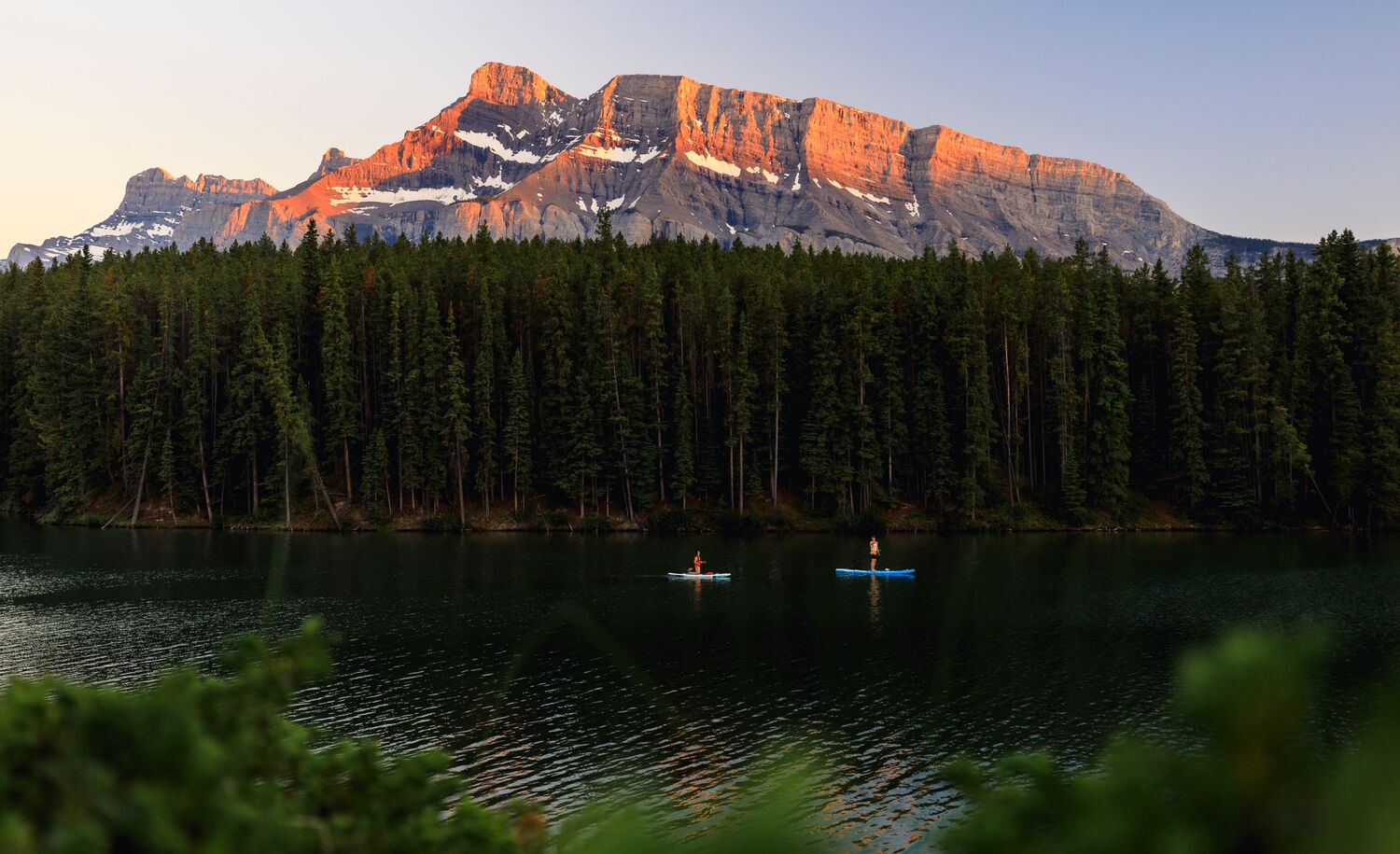
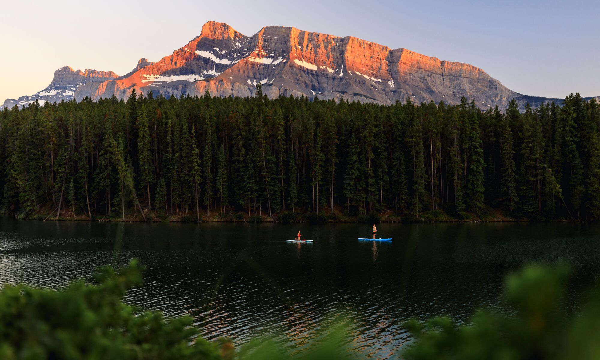
This easy loop around Johnson Lake brings you to a clear view of the slanted peaks of Mount Rundle, one of the most distinct mountains in Banff National Park.
The hiking trail is habitat for elk, deer, and other wildlife. Despite its short distance, there is plenty to see along the way, including some of the oldest Douglas fir trees in Alberta, ancient hoodoos, and a century-old cabin.
Pack your swimsuit for a summer dip in one of the warmest lakes in the Canadian Rocky Mountains.
How to Get to Lake Minnewanka for Hiking
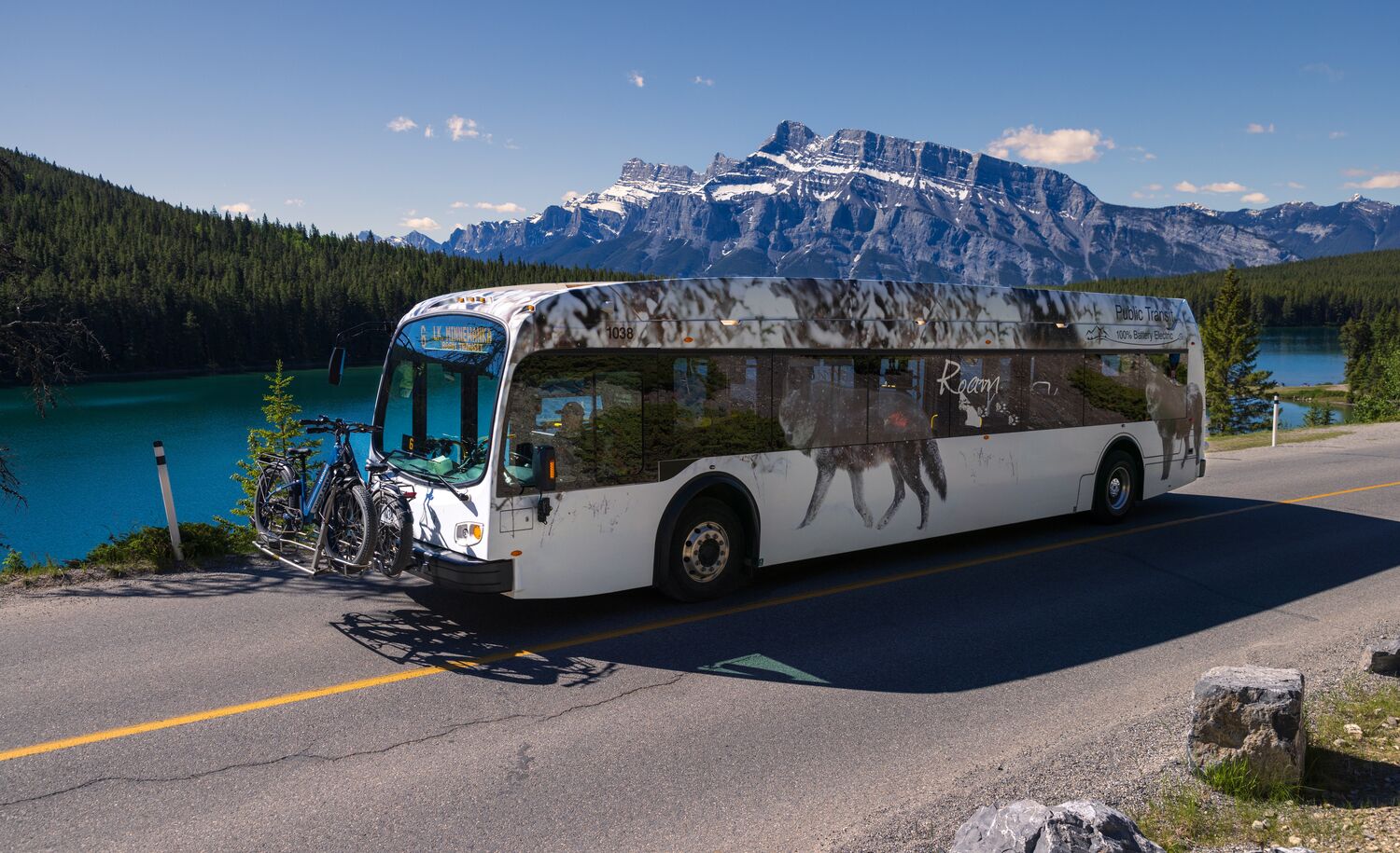
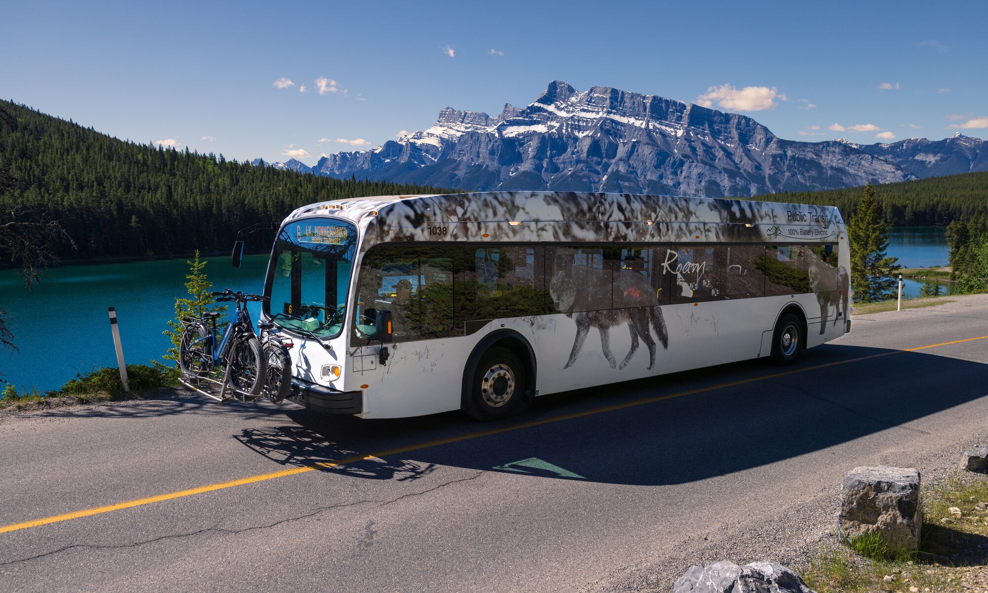
Parking space at Lake Minnewanka is limited and fills up quickly, especially during the summer months.
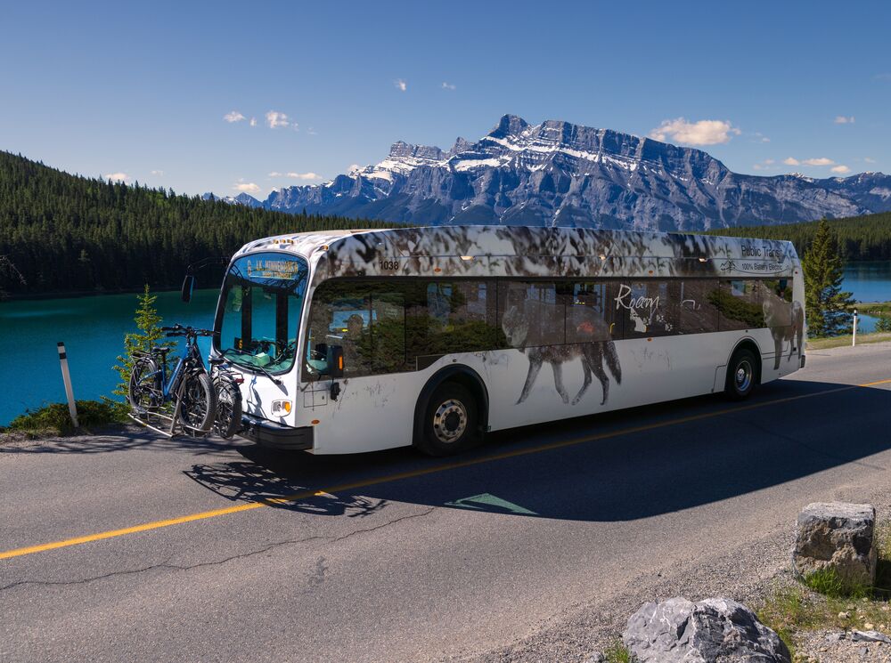
Plan to go car free, whether it be public transit, carpooling, biking, or private shuttles. Roam Transit Route #6 goes directly from downtown Banff to Lake Minnewanka. You can also bike to Lake Minnewanka from Banff via paved or off-road routes.
If you want to get to the Lake Minnewanka trailhead while tapping into knowledge from local experts, a guided sightseeing and hiking tour is the way to go.
What to Know Before you Go Hiking at Lake Minnewanka
First, you’ll want to buy your Banff National Park Pass ahead of time to access the whole park.
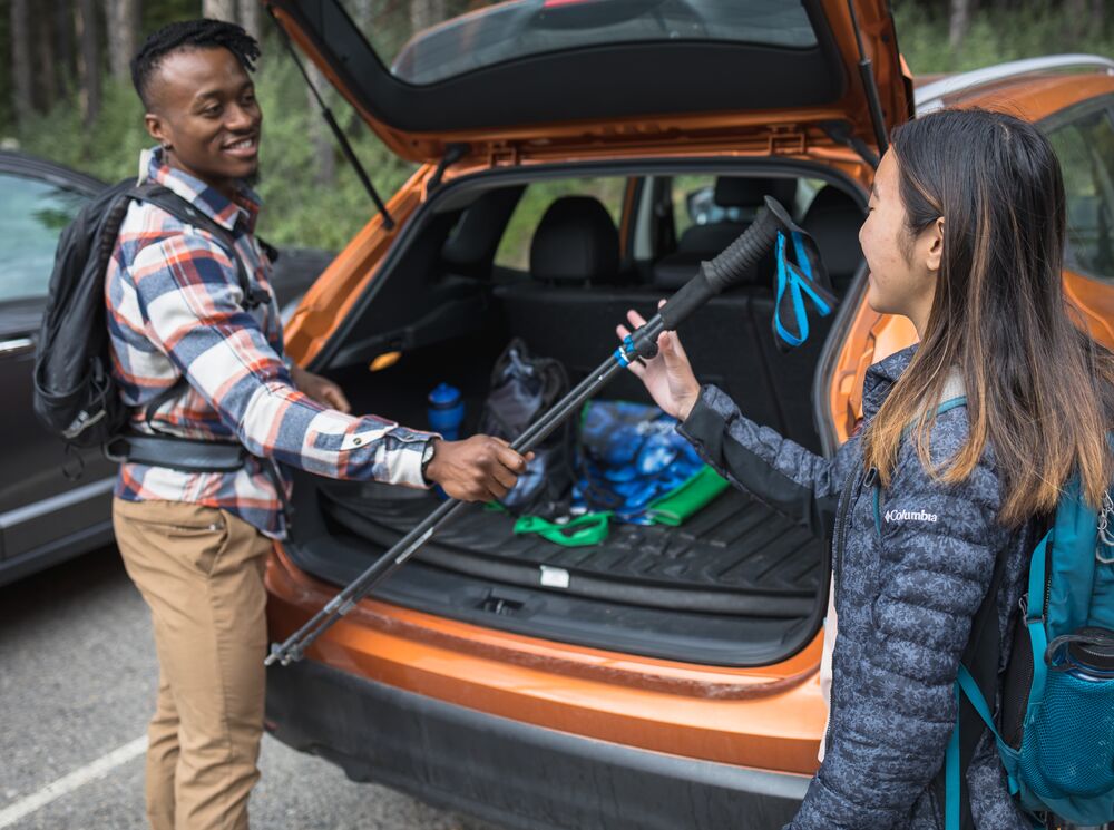
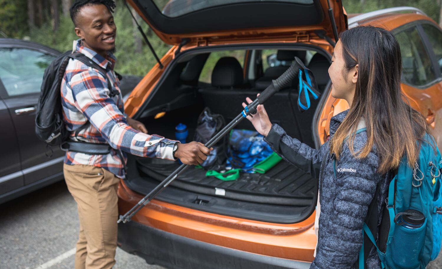
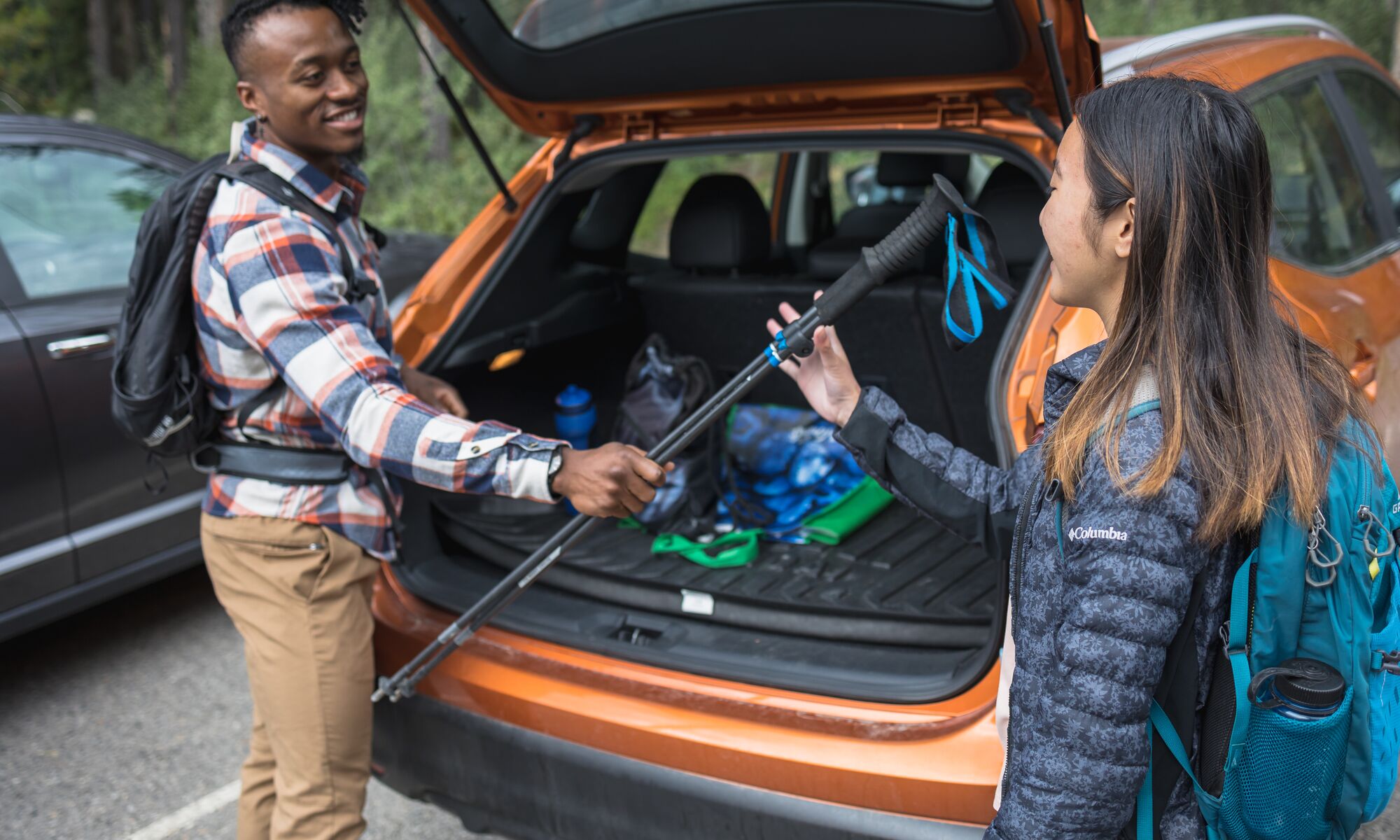
Consider your time, physical fitness level, and previous hiking experience when you plan your Lake Minnewanka hike. Always check the weather, trail conditions and Parks Canada Bulletins before heading out on your hike, and tell a reliable person where you’re going and when you’ll return.
Pack the essential safety and survival equipment, including layers, extra food, water, and bear spray.
Read the full summer checklist to prepare for your hike.
Here are a few other tips for the trail:
- Stay on the trail.
- Give wildlife space and never feed animals.
- Obey bear closures and restrictions.
- Keep dogs on leash and clean up their waste.
- Pack out your garbage and food scraps (there are no garbage cans on the trail).
- Reduce your waste by bringing reusable cups and water bottles.
- Cell service at Lake Minnewanka is spotty and unreliable, so be prepared.
Activities at Lake Minnewanka for After Your Hike
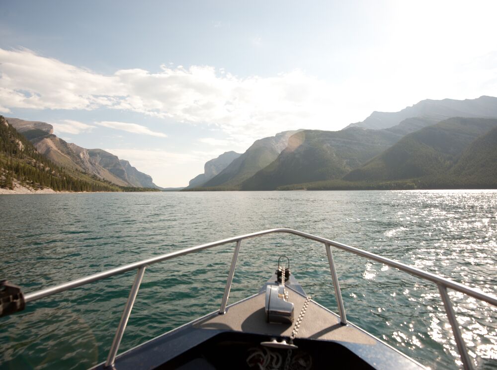
Beyond the Lake Minnewanka hiking trails, adventures continue on land and water, from biking and fishing to paddling and boating.
Ride your mountain bike along the Lake Minnewanka Lakeshore Trail and continue on to the singletrack beyond.
Reel in a trophy trout or a Rocky Mountain whitefish in this deep-water fishing haven. Paddle the tranquil waters and soak in the mountain views.
A guided boat tour along the calm waters is a great way to venture farther into the lake while listening to stories about the history and ecology of the area. If a self-guided aquatic adventure is more your pace, rent a kayak, canoe, or aluminum motorboat.
Plan Your Trip to Banff and Lake Louise
Start planning your dream trip to Banff and Lake Louise today with our easy to use Trip Builder. Curate you perfect trip from start to finish with accommodation, dining, activities, sightseeing adventures and more!